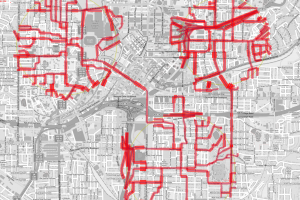
Visualization tools for spatiotemporal data utilize map-based representations to help a user understand trends and outliers within a given region over time. Multitouch visualization tools allow us to recreate many of the capabilities of sketching directly on maps while still taking advantage of computational models of public safety. We will be demonstrating SpaceSketch, a multitouch approach to spatiotemporal visualization. Visitors will be allowed to explore crime and transmit data in the city of Atlanta using our high-resolution Surface Hub Interface.

At the Information Interfaces Lab, computing technologies are developed that help people take advantage of information to enrich their lives. The lab group develops ways to help people understand information via user interface design, information visualization, peripheral awareness techniques and embodied agents. The goal is to help people make better judgments by learning from all the information available to them.


